Our services
Specialist in civil engineering and geographic data in Figueira da Foz.
Topografy


Topographic maps
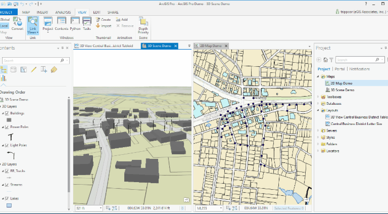
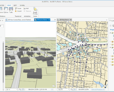
GIS Analysis
Processing geographic data for the correct topography
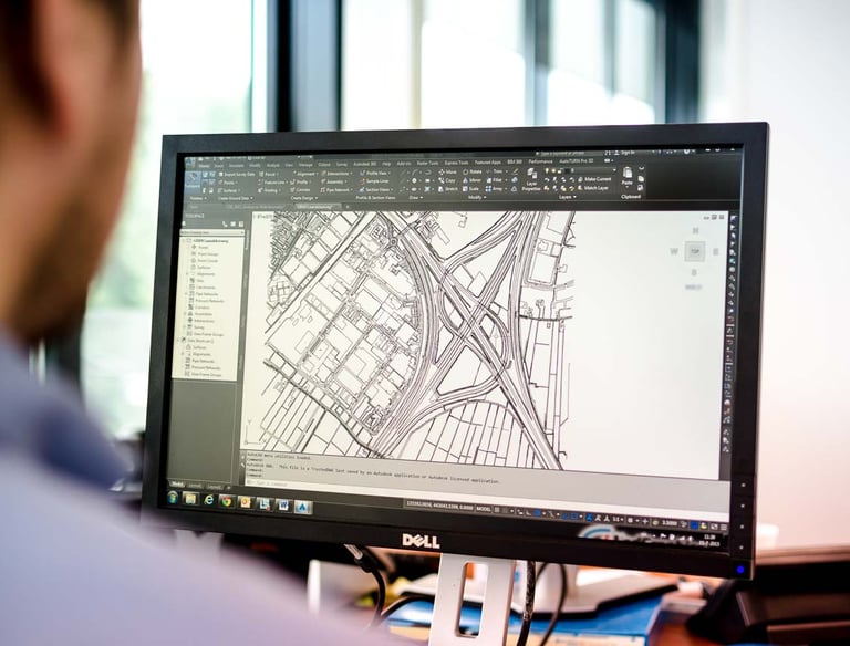
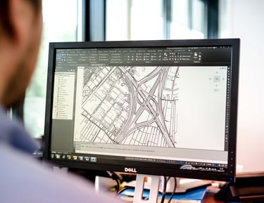
Support for civil projects with Autocad Map 3D and Civil 3D
Civil engineering

Frequently Asked Questions
Wat is civil engineering?
Civil engineering is about designing and building infrastructure.
What software do you use?
I primarily work with AutoCAD Map 3D and ArcGIS for map and data analysis.
Where are you located?
My office is in Figueira da Foz, a beautiful coastal town in Portugal.
What exactly is topography?
Topography is the mapping of landscapes and terrains.
Do you also work internationally?
Yes, I assist clients both locally and outside Portugal.
How can I contact you for a project?
You can reach me by email or phone, I will respond quickly.