A selection of recent civil and geographical projects.
Technical drawings for civil projects.
Geographic analyses for better topography.
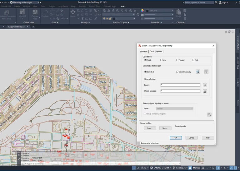
In preparation: Examples of my work with ArcGIS and AutoCAD Map
Questions? Send me a message, I'm happy to help.
TEL / Email
contact
info@data-foz.tech
+351-964078334
© 2025. All rights reserved.