Een selectie van recente civiele en geografische projecten.
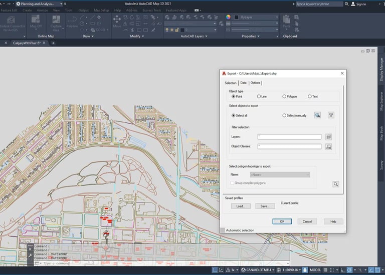
Technische tekeningen voor civiele projecten.
Geografische analyses voor betere topografie.
In ontwikkeling: Voorbeelden van mijn werk met ArcGIS en AutoCAD Map
Stuur een bericht, ik help graag.
TEL / Email
contact
info@data-foz.tech
+351-964078334
© 2025. All rights reserved.